Guilin is located in northeastern Guangxi Zhuang Autonomous Region. In 1998 with the approval of the State Council, the original Guilin and Guilin District merged to form the current Guilin, with a total area of 2.78 million square kilometers and a total population of 4,951,100 people. The urban area is 565 square kilometers, and the urban population is 734800 people.Most of the sights in Guilin are scenic. Although the mountains are the usual peaked mountains, they are rounded at the top and there are tons of them, very picturesque. They look almost fake and the ones in the background fade to grey more than the nearer, darker ones.
Silver Cave is a typical karst cave, runs through twelve peaks. It is a floor-type karst cave, the stalactites of different geological ages are collected together inside it, crystal clear, perfectly clean, like the Milky Way in the night sky tilting down, glowing the light of silver and diamond, so is called "Silver Cave."
The Li River (Lijiang River) is the most important part of Guilin's scenery. It generally means the water way between Guilin and Yangshuo with 83 kilometers long. Along the Li River, you can appreciate verdant - rolling hills, clear - running waters, mysterious caves and breath-taking cliffs. By a boat trip starting from Guilin, the first point of interest is the pagoda-capped Elephant Trunk Hill, long used as the symbol of Guilin.


Yangshuo, 65 kilometres .southeast Guilin, is a county (population 300,000) directly under its jurisdiction. It is located in the upper reaches of Gui River and Li River rums through it. The county sits on a typical karst topography where there are green mountains and jade-like streams everywhere. The scenery along the Li River is superb, and a traveller of the Ming Dynasty Xu Xiake (1586-1641) described it as "the land of green lotus and jade-colour bamboo shoots " Yangshuo boosts four major scenic areas with over 20 scenic spots, each with its own peculiarity. Furthermore, the landscape changes colour and looks as the season and the day change, and gives different tastes in different weather. There is a very popular saying: "Guilin's scenes are the finest under Heaven, but Yangshuo's are still better." It is a very popular travellers' destination in its own right and certainly a good place to live and work, with a diversity of opportunity. The town draws millions of visitors from both home and abroad.

Yaoshan Mountain lies in the east of Guilin , 12 km from the downtown. The highest peak is 903.3 meters high and is the highest hill in Guilin. It received its name from a Yao Emperor Temple, which was built the top of the mountain in the Tang dynasty. Each season offers a different view. In spring azalea flowers are everywhere, in summer the bamboo compete with each other for greenness and in autumn the red maples with falling leaves make the hill appear as though it's afire. The winter's snow on mountains is as transparent as pure crystal. Completed in 1996, a 1,416.18 meter long cable car connects the top and the foot and offers bird's-eye views of wonderful peaks and surrounds. The 1,000m sloping track has 18 curves, which enables tourists to travel through mysterious forest. The cable is 1416.18m long from the bottom to the top.


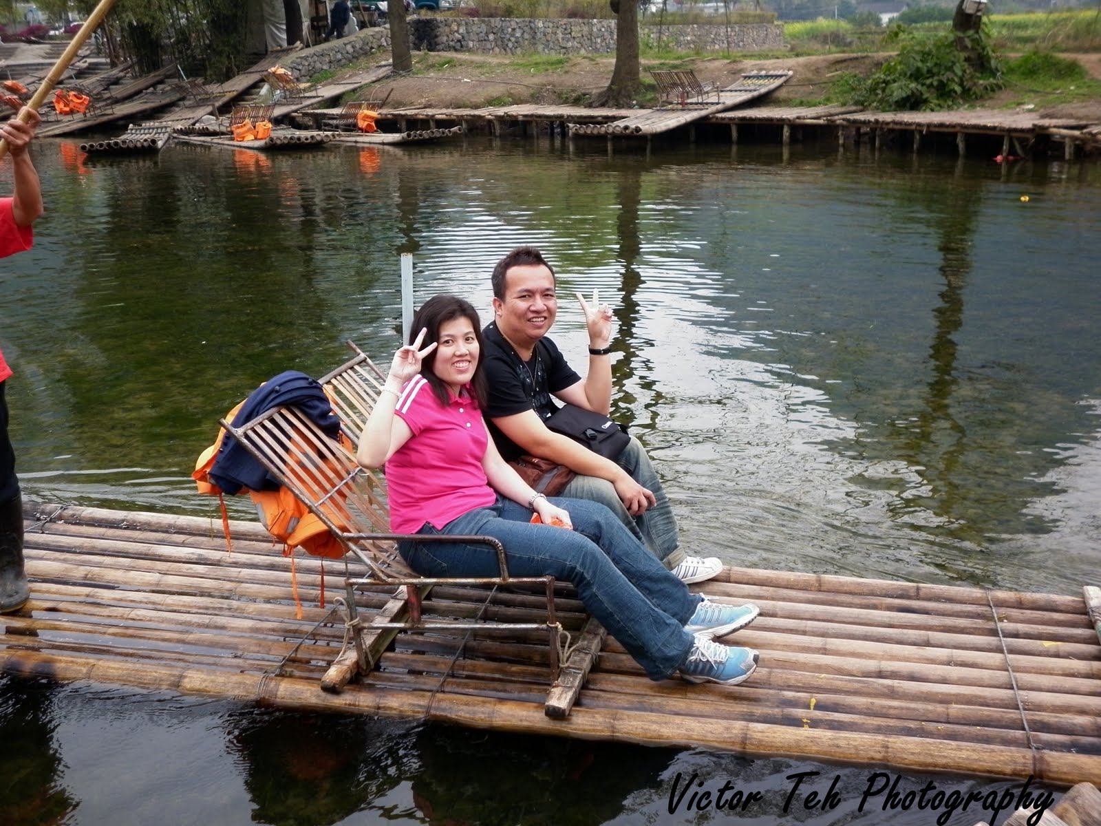
Yulong River is the biggest branch of the Li River in YangShuo County. The Chinese word 'Yulong' refers to 'meeting a dragon'. Local legend has it that a dragon from the East Sea strolled across the Yulong River and, being deeply impressed by the attractive landscape, decided to stay there forever. The clear water runs smoothly past fields,farmhouses, trees and mountains. Traveling by bamboo raft you will be surrounded by the crystal water and feel relaxed and happy in the arms of the green mountains.


Longsheng Longji Rice Terraces. Digging began in Yuan Dynasty, Longji Rice Terraces has gone through a great many of hardships for hundreds of years. Zhuang and Yao people live here for generations, build ridges to dig up terraces, ask mountains for food. From fast-flowing valleys to the peaks surrounded by clouds, from the edges of forests to the cliffs, the terraces are dug up in anyplace that can be reclaimed. In this way, through the centuries, the efforts of many generations have made Longji Rice Terraces become more and more perfect, formed the magnificent landscape that the terraces coil the mountain from the foot to the top.


The Zhuang are the most populous among the ethnic minorities in China. Guilin is one of the homes of the Zhuang nationality. Zhuang ethnic nationality is centuries-old and is distributed in Guangxi Zhuang Autonomous Region, Yunnan Province, Guangdong Province and Guizhou Province .Their culture is particularly rich and colorful. The costume of the Zhuang is a simple design with the favored colors being blue and black. The women like to wear embroidered towels as headwear and an apron covered with exquisite handwork. Zhuang ladies will also wear intricate pieces of handmade silver earrings, bracelets and necklaces.


